logo French Canadian Interview Project

More Maps

The Perry Castaneda Library Map Collection includes historical maps of France.

Review Canadian maps with various features.

Illinois topographical, relief, and road maps can be found at the Illinois Maps site.

A hand-drawn map of Eastern Canada and the Northeastern United States, showing Quebec, Newfoundland, Maine, and Nova Scotia, with the St. Lawrence River connecting Montreal and Quebec City.

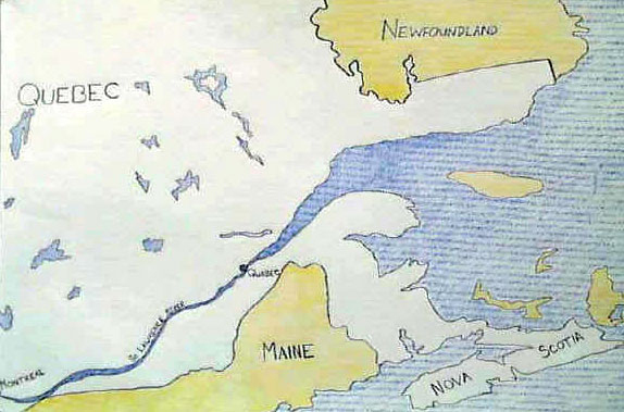
Canada, Quebec Province, St. Lawrence River, Quebec, and Montreal—the home area of
many northern Illinois French-Canadian predecessors.

An 1887 Sanborn Fire Insurance Map of Kankakee, Illinois, showing a street index and a grid layout of city blocks near the river.
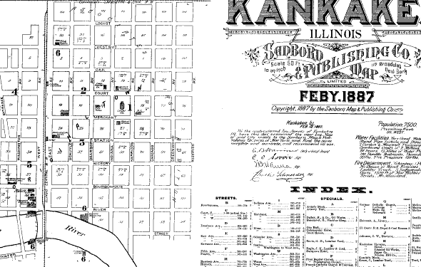
Kankakee, Illinois in 1887.

1912 Sanborn Fire Insurance Map of St. Anne, Illinois, showing a detailed street grid, railway lines, and building footprints for industrial sites like the St. Anne Brick and Tile Co. and Universal Welding Co.
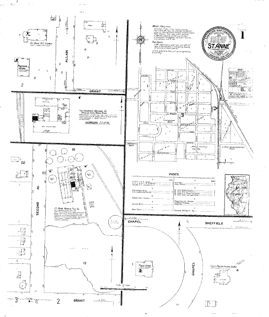
St. Anne, Illinois in 1912.

A hand-drawn map of Northern and Central Illinois showing county boundaries and names, including Cook, DuPage, Will, and surrounding counties.
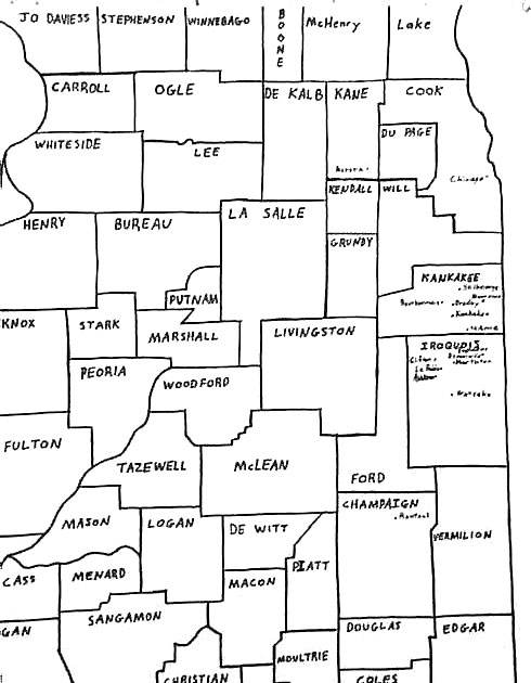
The circle of French-Canadian descendants in northeastern Illinois—Kanakakee and Iroquois Counties.